


🌋 A unique territory that requires tailored solutions La Palma is not just any island. Its rugged terrain, the presence of sensitive ecosystems, and the coexistence of human activity with natural values mean that any action on the territory requires precise and up-to-date information. At BENIU, we have deployed an environmental drone monitoring campaign on […]
Category Archives: Monitoring and remote sensing
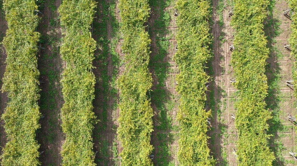
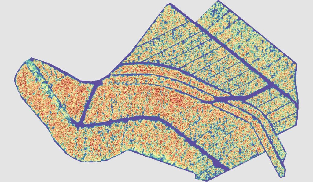
Analysis of vegetative development in vineyards MONITORING AND REMOTE SENSING Multispectral analysis in vineyards We perform a multispectral drone analysis over a vineyard to assess its health status. Using different vegetation indices such as NDVI, GCI, and NDRE, we detect areas with lower vegetative vigor. This pattern led to a detailed soil inspection, where a [...]
Panama disease in banana plantations MONITORING AND REMOTE SENSING Multispectral analysis for the detection of panama disease in banana plantations In this study, a multispectral analysis was conducted in a banana plantation to identify areas affected by panama disease (Fusarium oxysporum f. sp. cubense), one of the most destructive diseases in banana crops. Using drones [...]
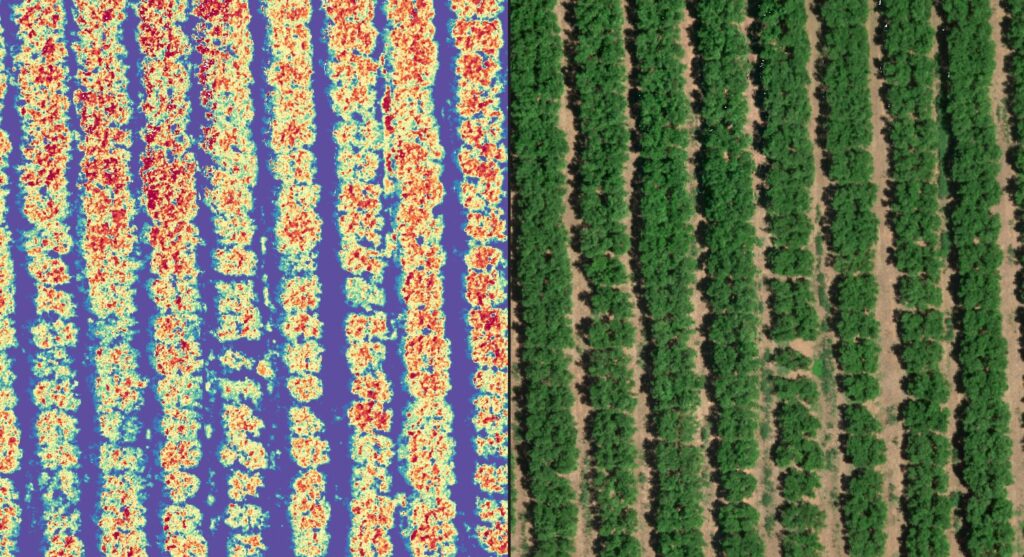
Orange grove test plot MONITORING AND REMOTE SENSING Through a multi-temporal analysis using remote sensing, we conducted detailed monitoring of a test plantation, detecting variations in vigor and areas with lower development. This study allowed for a better understanding of the crop’s response to different conditions, providing key information for future optimizations in agricultural management. [...]
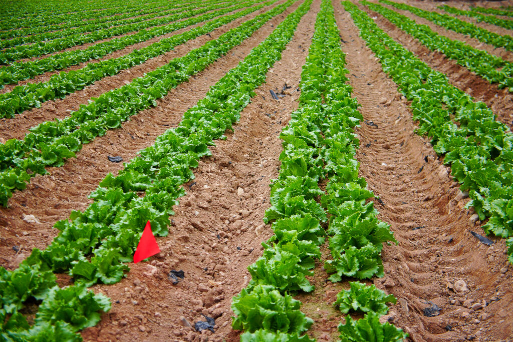
Monitoring Lettuce with Drones MONITORING AND REMOTE CONTROL Through remote sensing and multispectral analysis, we assessed the condition of a lettuce plantation, identifying variability in crop development and areas affected by damage. Using vegetation indices, we generated a zoning map of estimated yield, allowing us to detect areas with lower vigor and potential production deficiencies. [...]
