

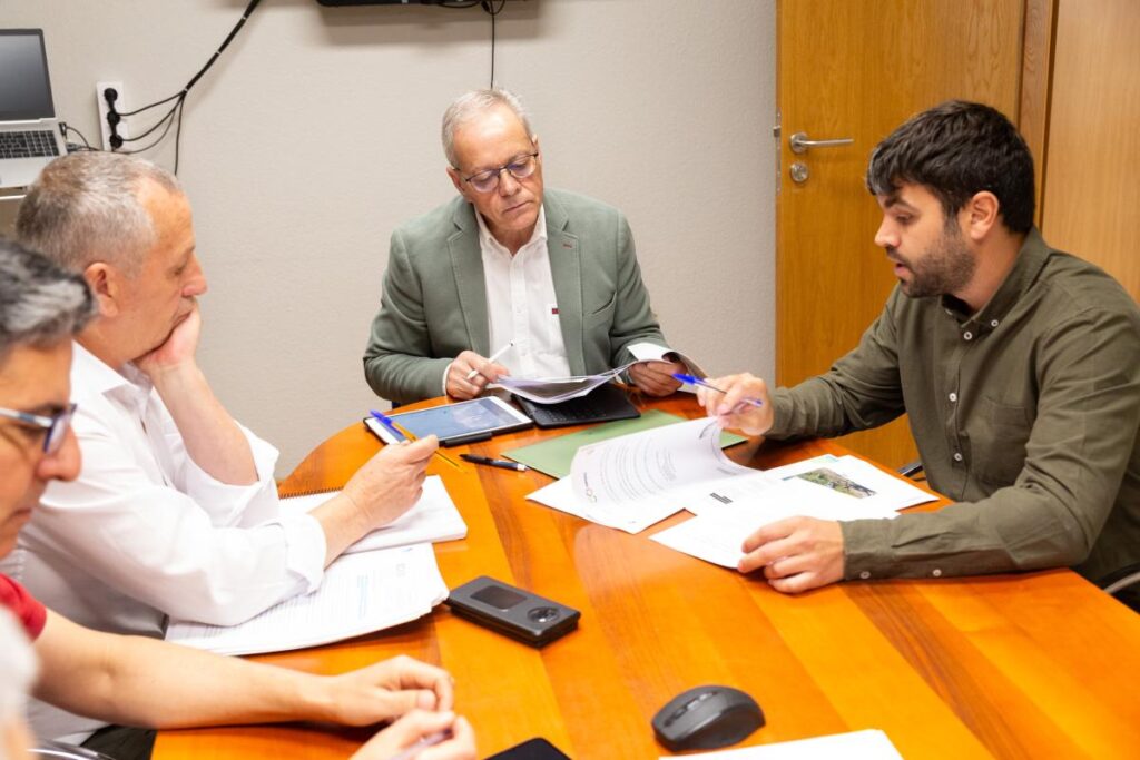
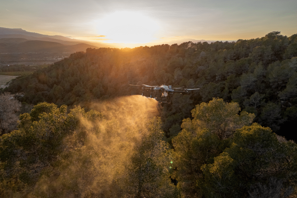
On May 26, the Regional Government of Galicia (Xunta de Galicia) took a decisive step toward modernizing the primary sector by announcing its support for the use of drones in the fight against pests and diseases in Galician crops. This initiative, led by the Department of Rural Affairs, acknowledges the value of technology as a [...]
Category Archives: FORESTRY AND NATURAL ENVIRONMENT
Technological innovation for the sustainable management of ecosystems The protection and efficient management of forest ecosystems is one of the great challenges of the 21st century. Climate change, biodiversity loss, and the increase in forest fires demand innovative, sustainable, and highly effective solutions. In this context, drones have become a key tool for the analysis, [...]

Vegetation analysis in Teide National Park ECOSYSTEM ANALYSIS Using remote sensing and geospatial processing, we conducted a detailed study of vegetation in Teide National Park, focusing on the distribution and quantification of biomass and necromass. High-resolution imagery allowed us to identify the presence and condition of key species such as retama and rosalillo, distinguishing areas [...]

Algae study ECOSYSTEM ANALYSIS In collaboration with the University of Vigo, we conducted a multispectral study of the coastal ecosystem to analyze the distribution and abundance of algae. Using high-resolution imagery and spectral analysis, we identified areas with higher concentrations, providing key information for monitoring marine biodiversity. This analysis enhances our understanding of ecosystem dynamics, [...]

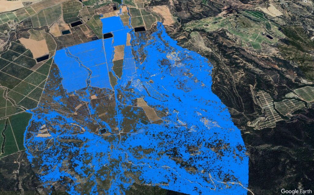
Wildfire FIRES AND REFORESTATION Through multispectral analysis and aerial photogrammetry, we conducted an assessment of wildfire severity in the affected area, quantifying the damaged surface and estimating forest mass loss. Using severity indices, we identified critically impacted areas and zones with potential for natural regeneration. This detailed information enabled the development of a technical report [...]
Pine forest analysis using LiDAR FOREST ANALYSIS Using high-precision LiDAR analysis, we conducted a detailed evaluation of tree density in a pine plantation. This technology allowed us to generate a three-dimensional model of the forest, identifying variations in the distribution and structure of the tree mass. The collected data revealed areas with uneven growth and [...]

Tree counting FOREST ANALYSIS Using photogrammetry, we analyzed the tree population of a 65,180.98 m² area, identifying 1,814 trees and evaluating the Canopy Cover Fraction (FCC). This study optimized plantation management by detecting low-coverage areas, assessing tree distribution, and adjusting management strategies. Digital model Covered Capacity Fraction Count 3 Problems managing your forests and resources? [...]
