MAP AND ANALYZE WITH PRECISION AND DETAIL, PROVIDING KEY INFORMATION FOR EFFICIENT TERRITORIAL PLANNING AND MANAGEMENT
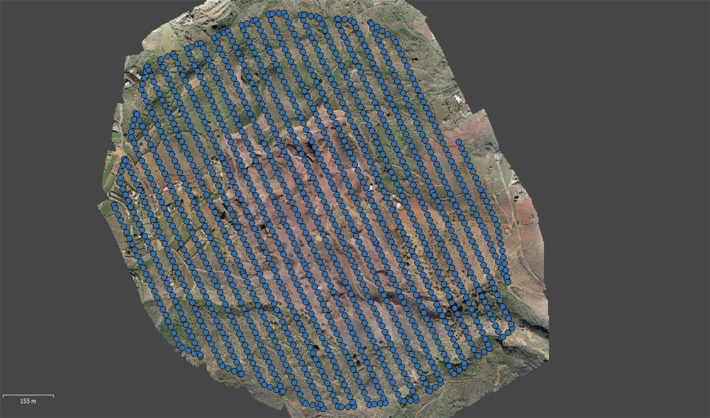
We generate high-precision topographic maps and detailed 3D models through aerial photogrammetry and laser scanning. We obtain accurate images and data of any terrain, enabling a comprehensive analysis of morphology and topography, ideal for project planning in construction, mining, forestry, and ecological restoration.


HOW DOES IT WORK?
We use drones equipped with high-resolution sensors that capture aerial data and images of the terrain. These are processed and combined to create detailed 3D models, providing an accurate and realistic visualization of the terrain. This allows us to analyze the topography, object distribution, and other key features for various projects.

KEY BENEFITS
HIGH PRECISION IN GEO-SPATIAL DATA CAPTURE
We guarantee accurate and up-to-date data for decision-making.
CLEAR AND DETAILED VISUALIZATION OF TERRAIN MORPHOLOGY
Allows 3D terrain visualization, enhancing planning and design for any project.
OPTIMIZATION OF PLANNING AND DESIGN PROCESSES
Thanks to advanced technology, projects are managed more efficiently, improving execution times and reducing operational costs.
PROJECTS
Do you need accurate maps and detailed data for your projects?
Optimize planning and land management with our advanced cartography and photogrammetry. Contact us now!


