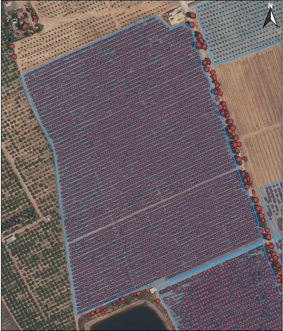
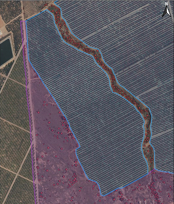
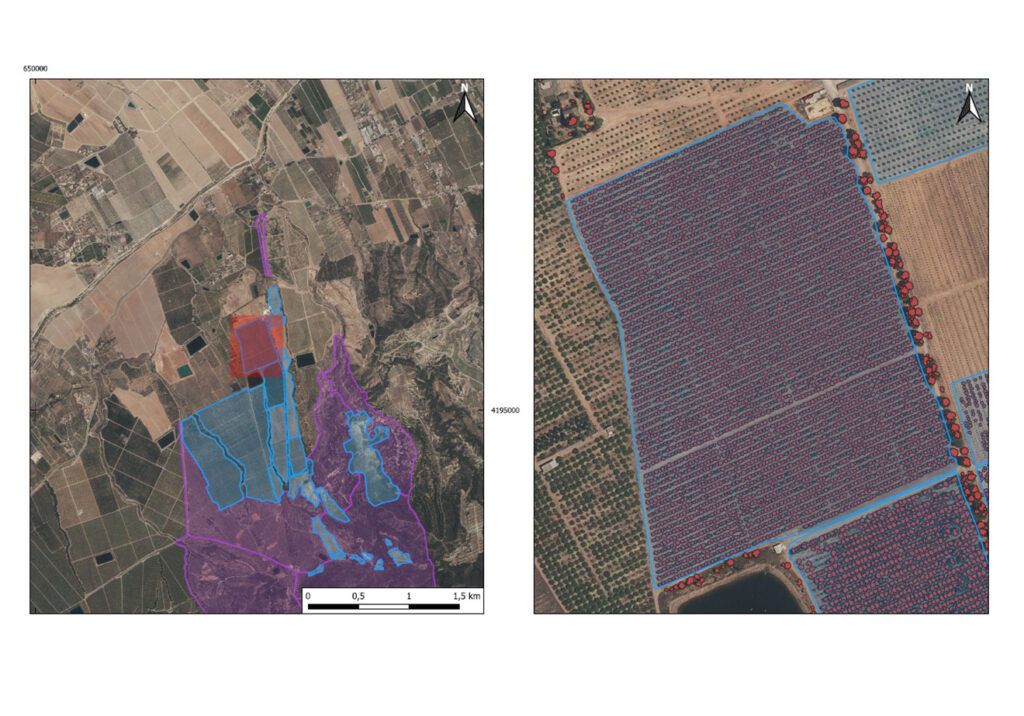
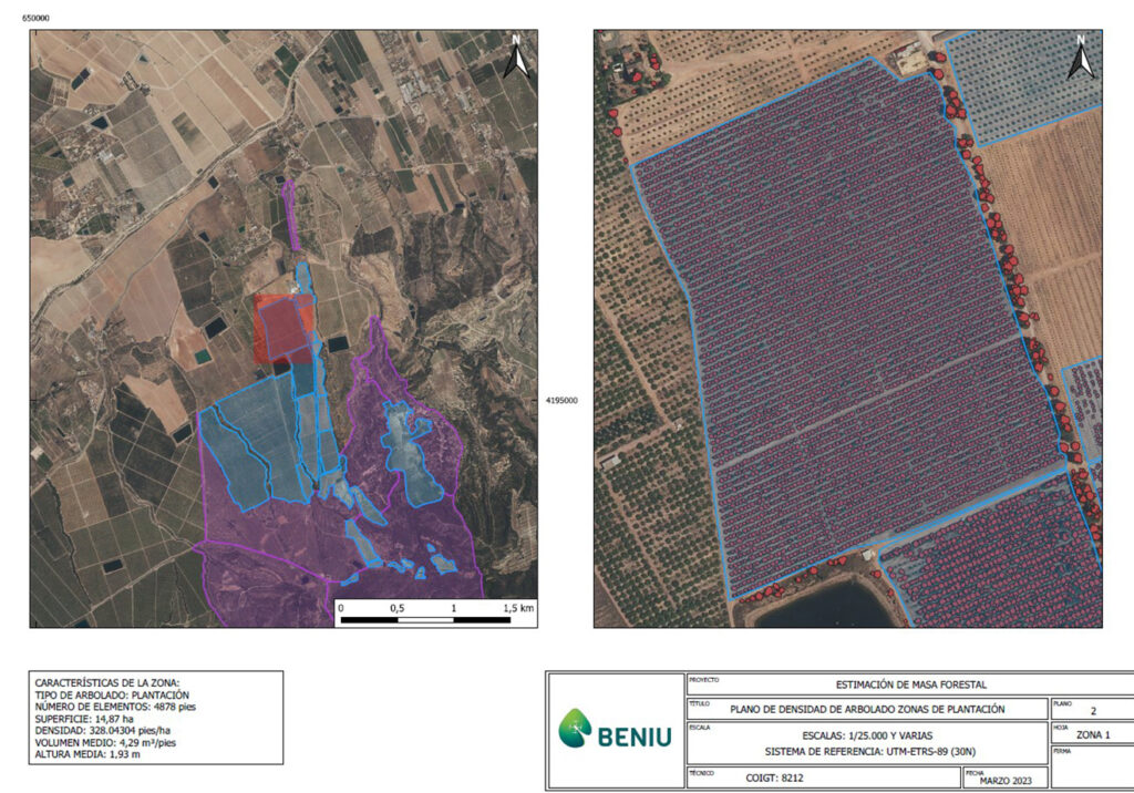
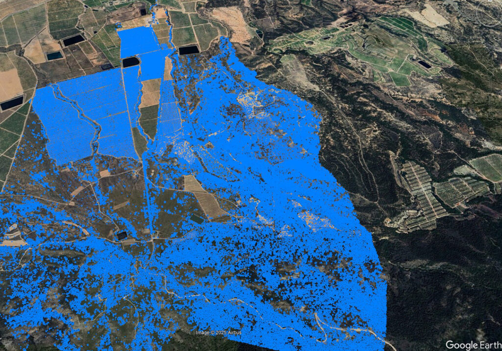
Using high-precision LiDAR analysis, we conducted a detailed evaluation of tree density in a pine plantation. This technology allowed us to generate a three-dimensional model of the forest, identifying variations in the distribution and structure of the tree mass. The collected data revealed areas with uneven growth and potential regeneration issues, facilitating the optimization of management strategies. Geospatial information and volumetric estimation improved reforestation planning, reduced tree competition, and maximized ecosystem sustainability. This is a clear example of how LiDAR technology is revolutionizing forest management by providing precise data for efficient and responsible decision-making.
Problems managing your forests and resources?
Contact us and get precise solutions to optimize land use, improve forest health, and ensure efficient and sustainable intervention.

