

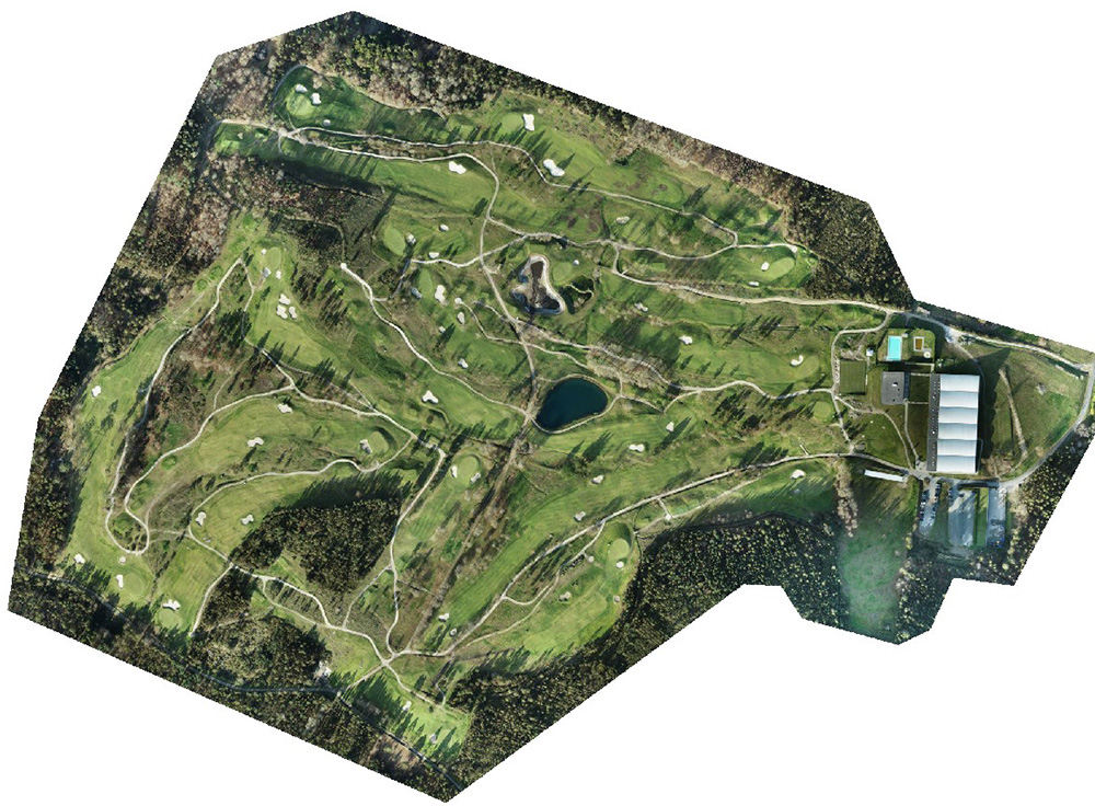
In this project, we conducted a detailed analysis using photogrammetry and advanced cartography of a golf course. Using drones equipped with high-precision sensors, we generated 3D terrain models, topographic maps, and elevation maps, providing a detailed visualization of the terrain morphology.
This work was key to optimizing the design and management of the golf course, ensuring efficient planning in crucial areas such as green maintenance and slope management. Additionally, through 3D models, clients were able to obtain precise information about the topography and identify potential improvements in infrastructure and irrigation systems.
Thanks to this advanced technology, we provided valuable data for decision-making, optimizing resources, and ensuring efficient space utilization, resulting in maximum sustainability and enhanced course quality.


Do you need precise maps and detailed data for your projects?
Optimize land planning and management with our advanced cartography and photogrammetry services. Contact us today!
